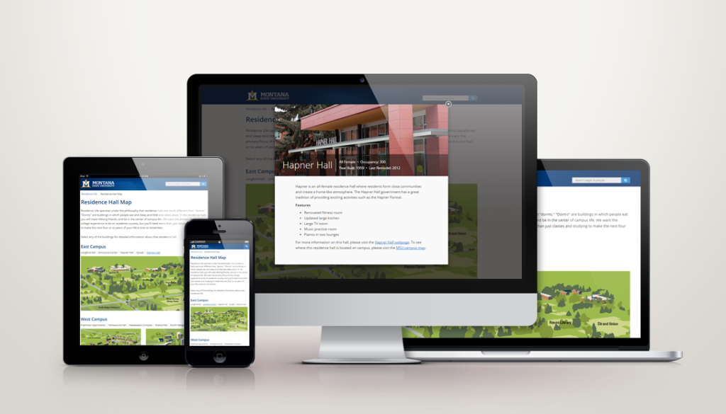
Residence Life Interactive Map
By Jeanine | 2016-03-15
Need a responsive interactive and customized map? This project uses SVG and Fancybox to create a useful resource for students trying to find their way around campus.
When looking into how best to create an image with interactive elements, I had to go beyond using outdated image maps and get creative with implementing maps using SVG (Scalable Vector Graphics) and creating a responsive, interactive information pop-ups!
This map looks great on desktop and mobile**—**test it out yourself! The functionality enables a user to click either the name or the building itself to learn more about it.
Within Illustrator, we grouped paths and then was able to edit the exported .svg file and assign IDs. Later, I targeted these groups to hide and display the building indicators as necessary.
If you’ve designed a map on Adobe Illustrator, let me help create a responsive and interactive element that your users will love!
This great tool was a collaborative project with Alison Gauthier, Graphic Designer for Montana State University. Please note, illustrative work is very time consuming!


